
Green Neighbors: Block Sources
Green block research works best when each source has a narrow job. Start with the parcel map to establish the physical setting, then query individual parcels in the Fiscal Office system. Recorded documents can explain succession. Summit Board of Elections tools are an official civic-record channel with redactions. Historic collections can add earlier neighborhood context. None of these sources is a complete list of everyone associated with an address.
| Source | What It Shows About a Block | Access |
|---|---|---|
| Summit GIS Parcel Viewer | Target parcel, adjoining geometry, roads, and available map overlays. | Public map with pan, zoom, layers, and parcel labels. |
| Fiscal Office Property Tax | Individual parcel owner and tax-mail fields, plus situs and parcel data. | Public search by address, parcel, route, or owner. |
| Recorder and IBAV | Recorded party and legal-description context for a parcel. | Web for 1988+, IBAV for 1840-1988, then counter channels. |
| Summit BOE Street Report | An official street-level voter-report function, subject to redactions. | Use the current BOE tool and its notice. |
| City maps and historical collections | Street, ward, subdivision, township, and historical directory context. | City map page, Special Collections, and digital archive. |
Parcel ownership and tax mailing data are not occupancy proof. A mailing address can be an agent, service, or another property. A parcel map also does not show private occupant, utility, delivery, or protected-participant data. That distinction keeps a Green neighbors search factual and limited.
The Summit Fiscal Office news page is shown below.
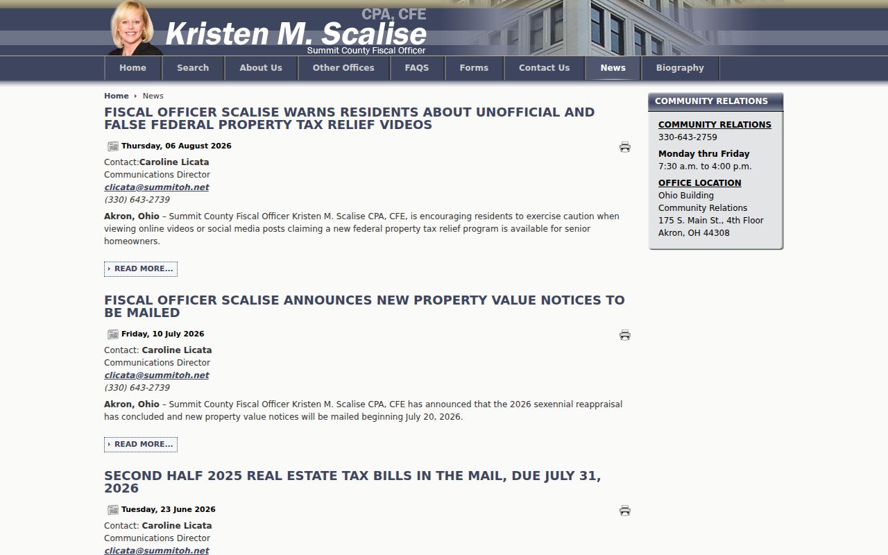
Fiscal Office notices are useful for checking official service information, but a current notice is not evidence that a particular person lives on a Green block.
Green Neighbor Maps: Parcels First
The Summit County GIS Parcel Viewer supplies the map part of the method. Enter or pan to a normalized address or road, identify the target parcel, then use pan and zoom to inspect parcels that touch it or face the same street segment. The official material documents parcel boundaries, parcel labels, road labels, home or reset controls, layers, and jurisdiction, water, floodplain, wetland, soil, and riparian contexts. Map labels are not a legal survey or an ownership certificate.
The City of Green directs parcel-level mapping users to County GIS and supplies a complementary Street Index, subdivision map, ward map, zoning map, and other city maps. Use the Street Index to normalize a road name. Then use the County viewer to see parcel geometry. This is especially useful where a postal locality does not neatly match Green city jurisdiction.
Do not promise a one-click radius or buffer result. The full dynamic GIS selection-tool menu was not captured in the research. The documented method is the careful visual one: target parcel, nearby parcel geometry, parcel IDs, and individual Fiscal Office lookups.
Map Green Neighbors Parcel by Parcel
For an immediate block, move from address to parcel ID before looking at any owner field. The County map supplies geometry, and the Fiscal Office system supplies property data. Keep a simple log of the target parcel and each adjoining or facing parcel. It avoids mixing parcels with similar road names and makes the source trail clear.
- Find the Green address or road in the County GIS viewer and identify the target parcel.
- Pan or zoom to parcels that share a boundary or face the same street segment, then record each visible parcel ID.
- Search each parcel separately in Fiscal Office Property Tax Information and note the owner field, situs address, legal data, and tax-mail field as distinct values.
- Use Recorded Documents or IBAV only when the question becomes a recorded ownership sequence for one parcel.
- For the larger named-street workflow, use the Green street address directory rather than treating one block method as a full street roster.
The owner lookup belongs in the Fiscal Office system, not in GIS. A homestead or other tax status may describe a property-tax condition, but it is not a household roster. Record what the field says and avoid inferring more.
The Property Record Alert announcement is shown below.
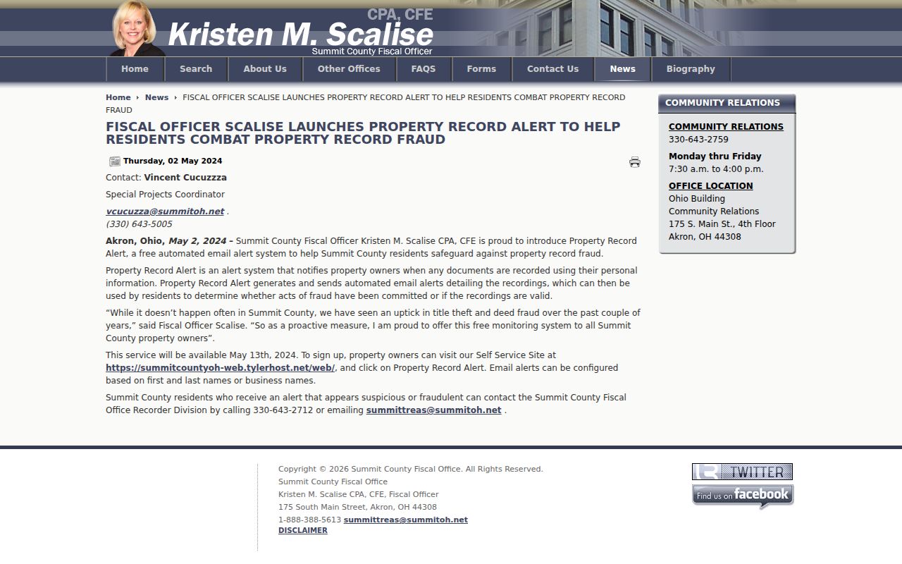
The free alert program concerns newly recorded documents under an individual or business name. It can flag a recording for the party to check with the Recording Division, but it does not reveal a household on a neighboring parcel.
Green Neighbors and Official Street Reports
Summit BOE's advanced tools include Voter Lookup Search, Voter Report Generation, and Street Report Generation. That confirms an official street-based civic-record channel exists. It does not authorize republishing results or turning a block into an unsupervised roster. Use the current Summit BOE tool hub and read its active notice before making a lawful request.
Ohio's public-record rules still limit the data. R.C. 3503.13 excludes Social Security numbers, driver or state ID numbers, telephone numbers, email addresses, confidential voter records, protected public-service-worker addresses, citizenship proof, and other protected information. Public voting history does not reveal ballot choices. A missing current result also does not prove that somebody never lived on the block, because cancelled registrations have their own retention and cancellation rules.
The Summit Clerk website-upgrade notice is pictured below.
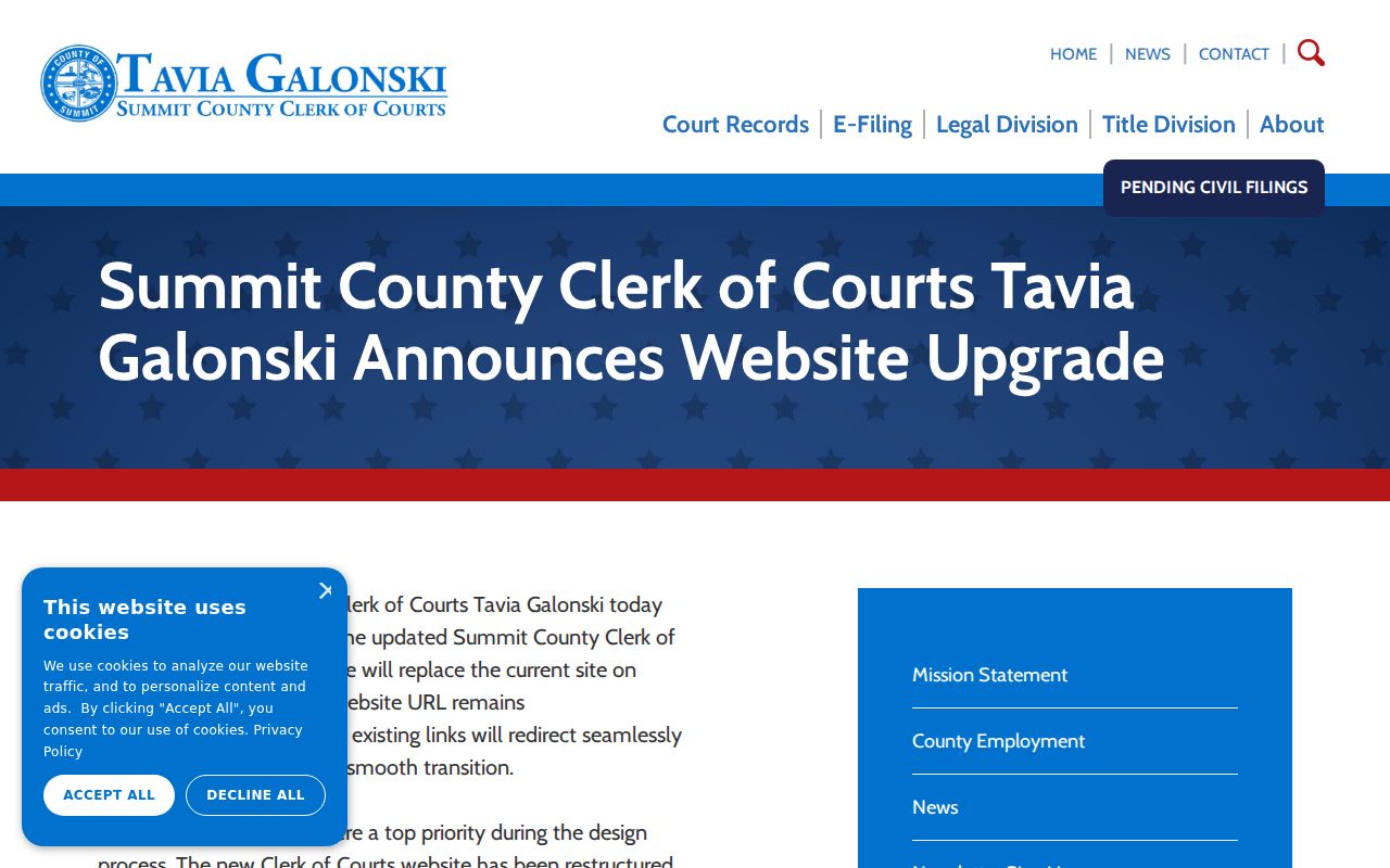
When a block question leads to a separate public-record channel, begin from its known official domain. The Clerk has warned about impersonating records-search sites, and court material remains separate from parcel ownership records.
Note: An official street-report function has legal redactions and tool-specific notices, so it should never be treated as a complete neighborhood census.
Green Community Reference Channels
No official citywide neighborhood-association or HOA member directory was located for Green. It would be wrong to invent one or treat a subdivision name as a membership list. The useful local channels are public maps and historical research institutions. They help explain the block's geography or earlier community context without claiming current affiliation.
| City of Green maps | Street Index, subdivision, ward, zoning, and location-map context for a Green address. |
|---|---|
| Green Historical Society | Township records from 1811-1863, historic maps, and a searchable local archive. |
| ASCPL Special Collections | Directories, Haines criss-cross volumes, obituary indexes, microfilm, and Kepler-Coss Green Township material. |
| Kepler-Coss finding aid | Green street-directory files for 1983-84 and 1987-88, a 1919 resident list, maps, churches, cemeteries, and community-fair records. |
These channels are research resources, not contact cards for private groups. Green Historical Society and Special Collections can assist with a historical address question, while City maps help place that address in the right ward, subdivision, or street context.
Green Neighbor Records Compared
Official and commercial categories answer different questions. An official parcel or recorded-document source identifies the field and custodian responsible for it. A commercial neighbor-lookup category may combine public and other information, may be stale, and is not the authority for correcting a record. For a Green block, return to the Fiscal Office, BOE, Recorder, or City department when the source matters.
| Category | Useful For | Limit |
|---|---|---|
| Official parcel, deed, and City map sources | Parcel geometry, recorded party roles, legal descriptions, and jurisdiction context. | Each field has a narrow purpose and does not prove a complete household. |
| Official voter channel | Lawful, current civic-record requests through the BOE tool or records policy. | Redactions and confidential records apply; ballot choices are not public. |
| Commercial neighbor-lookup category | A possible lead to verify with a custodian. | May be incomplete or stale and is not a substitute for official records. |
The Ohio eLicense entry point is shown below.
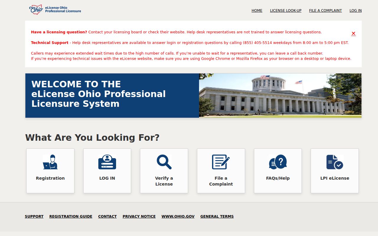
A state credential result is a separate public record. Its city or correspondence information is not proof that a person is a Green neighbor or lives at a particular address.
Historic Green Neighbors by Place
Historical block research has its own geography. Green began as a township in 1809 and includes the historic hamlets of Aultman, Comet, East Liberty, Greensburg, and Myersville. The Township became a village in 1991 and a city in 1992. As farms became subdivisions in the 1950s and later decades, older files could carry a hamlet or township name even where the present parcel reads Green.
For a past block, pair a regional directory street section with the nearest released census rather than assuming every road appears under the current city name. The digitized directory collection has listed volumes from 1859-1969. Later Haines criss-cross volumes are in Special Collections, while Kepler-Coss identifies the 1919 resident list and the two 1980s Green street-directory files. A historic directory can be an address clue, not proof of present residence.
Green Neighbor Privacy Limits
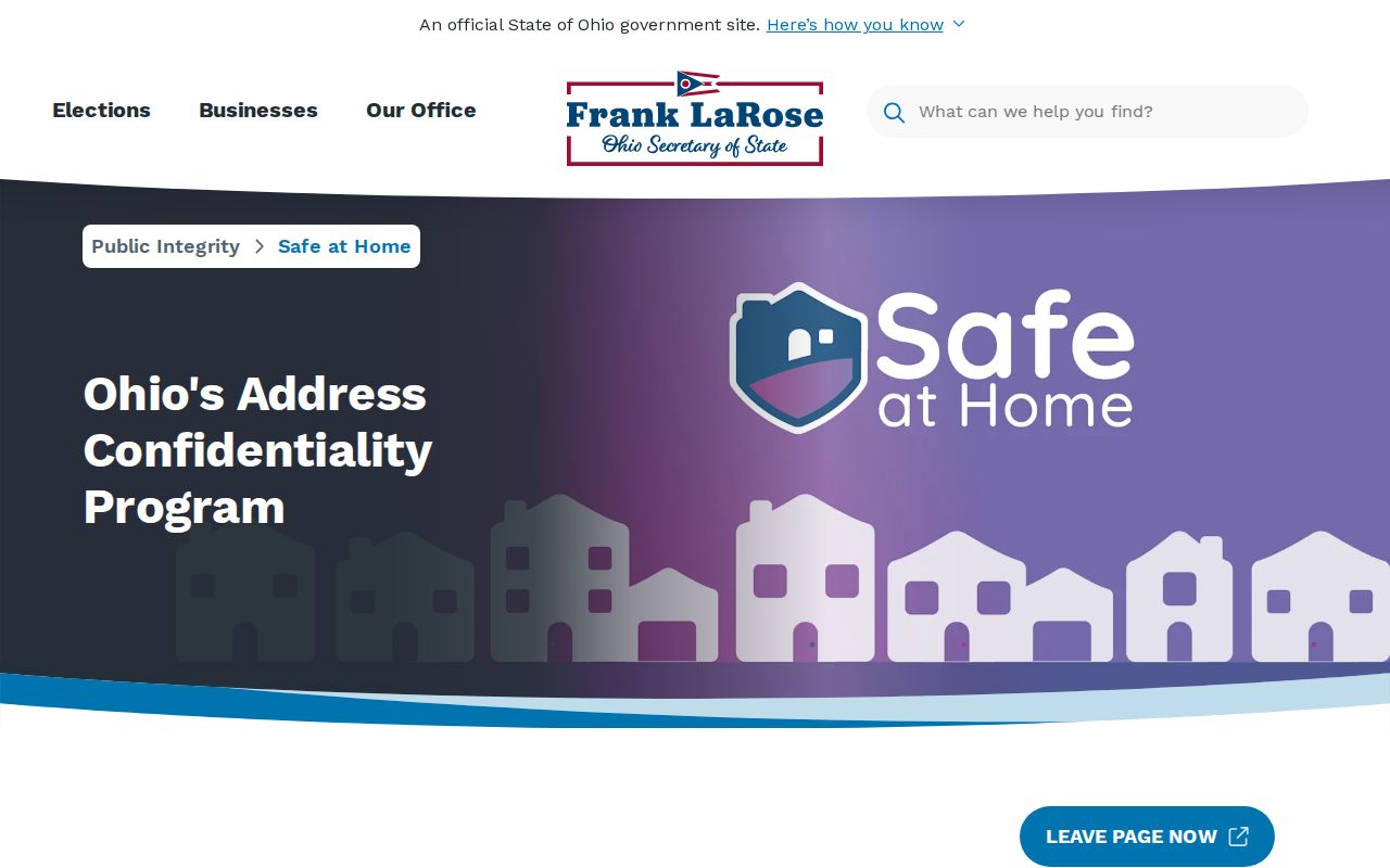
Private occupant, utility, delivery, and protected-participant information does not become public merely because a parcel is visible on a map. Ohio Safe at Home protects eligible participants' address, phone, and identifying details through a substitute-address process. Confidential voter records and protected public-service-worker address redactions also limit what appears in ordinary datasets. Do not try to use a missing record or a public map to work around those protections.
The Ohio Safe at Home program information is shown below.
Protected records can be absent from normal property or voter displays. That absence is a privacy safeguard, not a research problem to solve.
Lawful use. Green neighbor research is for personal, civic, and historical understanding of a block. Never use parcel, voter, or directory information to watch, harass, intimidate, or harm anyone.